The Big Dawg Weather Blog is presented by:
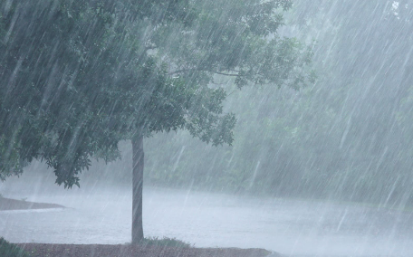
Scattered thunderstorms are likely later today and tonight ahead of a cold front. Gusty winds, cloud-to-ground lightning, and brief heavy rainfall would be the main threats. Storms will be most active from 3 pm to midnight, especially south of I 64, with the most concentrated area south of the Blue Grass Parkway. Hopefully, mother nature will give us some much-needed rain; the GFS model shows the most concentrated rainfall in Southeastern Kentucky but also gives parts of central Kentucky at least some rain.
GFS MODEL
A very unsettled period of weather is expected Friday and Saturday. Scattered showers and storms are expected. Some of these will contain heavy rainfall. With next weekend being a holiday, I will monitor the latest forecast for you! Have an excellent Sunday, folks!


.png)

